Quarry Road, Orinda, California 94563, United States
Residents of the East Bay have a volcano at Sibley Volcanic Regional Preserve at their doorstep. Initially named Round Top Park, Sibley holds the distinction of being one of the founding parks of the East Bay Regional Park District, with Temescal and Tilden. Later, the preserve was named in memory of Robert Sibley, who helped found the District and served on its board of directors for 10 years.
The most prominent feature of the preserve is the Round Top (altitude 1763 ft. above sea level).
The unstaffed visitor center at the staging area of Skyline Boulevard has displays which demonstrate the geology of the preserve. There is a self-guided brochure at the staging area that shows the geological features of the preserve.
Access to the preserve is established by many trails. The 31-mile East Bay Skyline National Recreation Trail, part of the Bay Area Ridge Trail system, crosses the preserve between Wildcat Canyon and Anthony Chabot Parks along the ridgeline. Round Top Road takes you from the Sibley Visitor Center to Round Top. Round Top Trail Loop Circles Round Top peak.
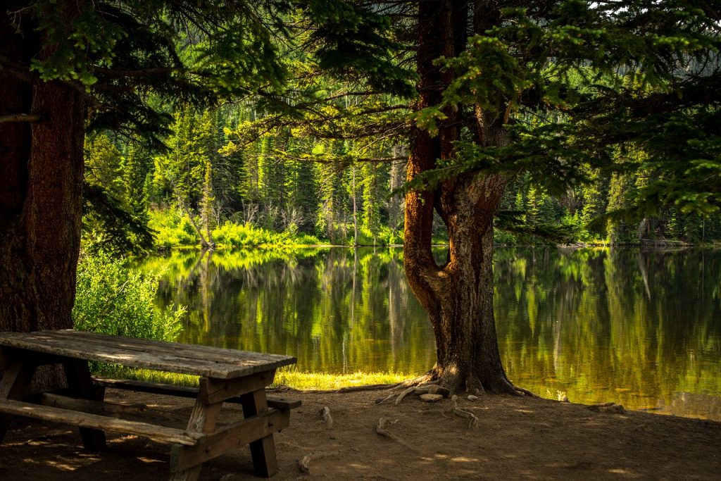
Once a quarry haul road Volcanic Trail includes most of the stops on the self-guided volcanic tour.
The paved Quarry Road ascends from Old Tunnel Road on the northwest side of the park and reaches the east end of Volcanic Trail. The Quarry Trail follows the center of the Volcanic Trail down Quarry Road to a point below. Finally, on the north side of the preserve, Pond Trail is a short trail section that descends to a few ponds.
Most trails are equestrian and hiking only. There are several trails which are multi-use. Dogs are allowed at Sibley, but the nearby Huckleberry trails are not permitted. A visitor center at the park shelves is a self-guided tour brochure that allows visitors to walk around the park at their own leisure and learn about its historical significance.
Bicycles on narrow-gage trails are not allowed, except on the Skyline Trail between the Sibley Visitor Center and Old Tunnel Road. Bicycles are permitted on wider gage fire paths and paved roads, but are not permitted on Round Top Road from the fork.15 mile east of the visitor center to the top of Round Top.
Round Top Road is paved as far as Round Top. There is also a 600-foot paved wheelchair track north of the visitor center that ends at the viewing platform. Quarry Road is also paved, beginning at Old Tunnel Road.
Through Highway 24 take immediately east of the Caldecott Tunnel on Fish Ranch Road. Go towards Grizzly Peak Boulevard for 0.8 miles. Turn left onto Grizzly Peak for 2.4 miles to Skyline Boulevard. Turn left and drive about 1.1 miles to the left entrance to the preserve.
The nearest bus route, AC Transit # 305, operates from mid-morning to mid-afternoon only on Tuesdays and Thursdays. Take AC Transit Bus 59 or 59A from Lake Merritt BART, 19th Street BART, or Rockridge BART; these bus lines head to the Montclair Transit Centre. From there, take the AC Transit Bus 305 and exit at the Colton Boulevard and the Ridgewood Drive station. Drive to Skyline Boulevard the short distance from Colton, turn left and continue to the preserve. It is a mostly straight, 0.9-mile walk which passes through the staging area of the Huckleberry Preserve.
This amazing kid-friendly park is just one of the many must-see parks you don’t want to miss in Orinda, California:
All of these wonderful sites are located just a short distance from our location at 3369 Mount Diablo Blvd in Lafayette! Stop by for a visit anytime!